
360 Technology
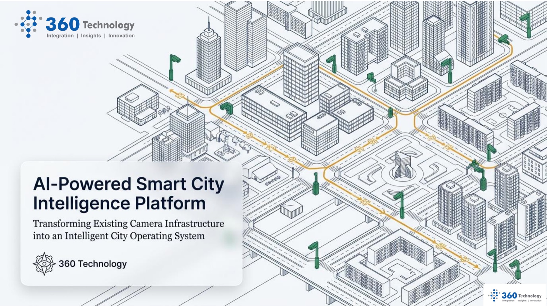
AI-powered smart city intelligence platform connecting camera infrastructure, roads, public assets, and operating dashboards.

Solution accelerator

Smart City Intelligence Platform

An AI-powered city operations platform that turns existing CCTV, traffic, transit, and facility cameras into real-time intelligence for safer, more responsive public services.

Assess
Build
Scale

360 Technology product solution

Product capability, implemented with enterprise delivery discipline.

Smart City Intelligence helps municipal governments, DOT teams, airports, ports, campuses, utilities, and public works organizations activate the camera infrastructure they already own instead of starting with expensive hardware replacement.

Designed to leverage existing camera infrastructure

Built for edge AI, cloud AI, GIS, and enterprise integration

Supports public works, transportation, public safety, utilities, airports, ports, and large facilities

Includes privacy, zero-trust, segmentation, and governance patterns for public-sector environments

Business problem

Where teams feel the pressure.

City camera networks are often passive and reactive. Operators review screens manually, incident evidence arrives after delays, and public works teams depend on citizen reports or field discovery for potholes, flooding, streetlight failures, abandoned vehicles, waste overflow, and roadway hazards.

How 360 Technology helps

Turn product capability into operating value.

360 Technology helps clients deploy edge AI, secure streaming, cloud analytics, GIS mapping, digital twins, and workflow integrations that convert camera signals into structured alerts, severity context, work orders, and executive operational visibility.

Capabilities

Smart City Intelligence Platform capabilities configured for enterprise use.

360 Technology aligns product functionality with workflows, data ownership, integration needs, governance, and adoption planning.

Edge AI detection for CCTV, traffic, transit, airport, port, and public building camera feeds

Computer vision models for potholes, road damage, flooding, streetlight outages, abandoned vehicles, crowd density, and safety events

Streaming architecture with secure transmission, cloud analytics, data lake integration, and real-time event processing

GIS and digital twin layers for spatial context, severity scoring, hot-spot detection, and infrastructure health analytics

Automated API triggers into CMMS, ERP, city command centers, citizen portals, mobile workforce tools, and emergency workflows

Privacy-by-design controls including edge anonymization, PII masking, role-based access, zero-trust architecture, and audit-ready governance

Use cases

Where the product creates measurable value.

These are common starting points for product-led transformation programs delivered by 360 Technology.

Detect roadway hazards, potholes, flooding, utility pole damage, streetlight outages, and waste overflow from existing city cameras

Improve traffic and transit operations with congestion monitoring, blocked-intersection detection, wrong-way driving alerts, signal violation detection, and vehicle counting

Support public safety operations with suspicious activity, crowd density, abandoned object, perimeter, and emergency event awareness

Give city managers a command-center view of infrastructure health, traffic flow, active alerts, district-level issues, and field response status

Create automated work orders with location, severity, asset context, and the exact field response needed for resolution

Use historical, spatial, and predictive analytics to plan maintenance, budget improvements, and prioritize districts

Outcomes

What the engagement is designed to produce.

Existing camera infrastructure activated
Real-time incident and asset detection
GIS and digital twin operating visibility
Automated dispatch and work-order triggers

01

Assess and align

360 Technology combines consulting, architecture, engineering, governance, and delivery leadership to move the solution from idea to adopted capability.

02

Build and integrate

360 Technology combines consulting, architecture, engineering, governance, and delivery leadership to move the solution from idea to adopted capability.

03

Scale and operate

360 Technology combines consulting, architecture, engineering, governance, and delivery leadership to move the solution from idea to adopted capability.

Engagement model

Structured to create momentum without losing control.

01

Assess existing camera coverage, operational value streams, privacy requirements, network readiness, and the first high-value use cases

02

Connect legacy camera feeds and deploy initial edge AI models for priority domains such as traffic, public works, safety, or waste

03

Integrate cloud AI, GIS mapping, data platforms, city command center workflows, CMMS, ERP, and mobile workforce systems

04

Scale to a digital twin command center with predictive modeling, GenAI query experiences, governance reporting, and managed operations

Let us build what is next

Explore how Smart City Intelligence Platform could accelerate your roadmap.

Talk with 360 Technology about the platforms, teams, and operating model your transformation needs next.